Rural Engineering, Cadastre and Cartography.
What we offer?
This service is relevant both to legal entities and individuals, who are interested in knowing the exact area and the boundaries of the owned land in order to dispose of their real estate without any obstacles.
- Maintenance
- Rural engineering and Cadastre
- Cartography
Maintenance of the register of territorial assets
- Analysis and Processing of Cadastre Files.
- Updating and Maintenance of Cadastre GIS.
- Technical Customer Service.
- Functional Technical Support (Equipment).
- Exploitation and supply of cadastre information.
- Dissemination of Cadastre information.
- Production of detailed Cartography.
- Archive of analogue documentation.
- Retrieval and computerisation of the Historical Archive.
- Surveys and Market Studies.
- Inspection for tax purposes.
- Publications for Local Councils.
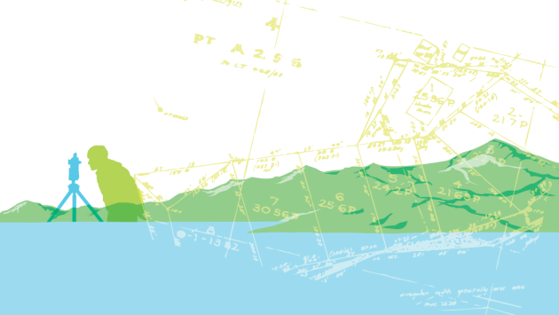
Rural engineering and Cadastre
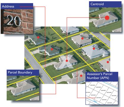
Cadastral mapping services creates maps with additional administrative details, such as survey district names, unique identifying numbers for parcels, certificate of title numbers, positions of existing structures, section or lot numbers and their respective areas, adjoining and adjacent street names, selected boundary dimensions and references to prior maps. The maps created using parcel mapping services comprise of polygons which are created from the base map, which shows the details of the ownership of the properties and related information.
- Work Projects.
- Marking Common Land Plots.
- Redefining Properties.
- Drawing up Property Deeds.
- Environmental Impact Studies.
- Inclusion of consolidation in cadastre.
- Cadastre Entries and Maintenance.
Cartography
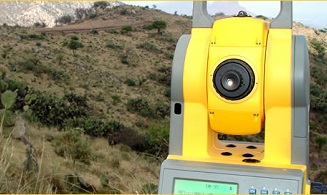
Topographic mapping services helps in route planning, thematic data preparation, and decision-making of telecom and transport services, disaster management and so on. First Group offer a wide variety of photogrammetric services and to complete your project from aerial acquisition through digital orthophotography
- Photogrammetry flights.
- Topographic measurements.
- Photogrammetric restitution.
- Field revision.
- Design, Development and maintenance of custom geospatial databases.
- Enterprise GIS solutions
- Cartographic generalisation.
- Revision and quality control.
- Digitalisation of paper documents.